Map and Location of Dumanjug, Cebu
Dumanjug is a municipality located on the southwestern coast of Cebu Island, Philippines. Positioned approximately 73 kilometers southwest of Cebu City, Dumanjug offers a blend of coastal and rural landscapes, with lush green fields and a stretch of scenic coastlines along the Tañon Strait.
Geographical Boundaries:
- North: Dumanjug is bordered by the municipality of Barili.
- East: Moalboal and Badian municipalities lie to the southeast, separated by rolling hills and a series of rivers.
- South: Ronda bounds Dumanjug in the south.
- West: The coastline opens to the Tañon Strait, a protected area known for its diverse marine life, including dolphins and small whale populations.
Barangays and Accessibility:
Dumanjug consists of 37 barangays (villages), each with its unique charm and community features. Barangays like Bullogan, located in the northern part of Dumanjug, are known for their scenic views and proximity to natural attractions. The national highway that passes through Dumanjug connects it to Cebu City to the north and the southern municipalities, making it accessible by buses and private vehicles.
How to Reach Dumanjug:
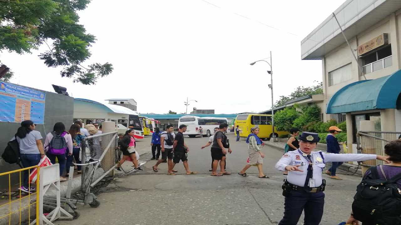
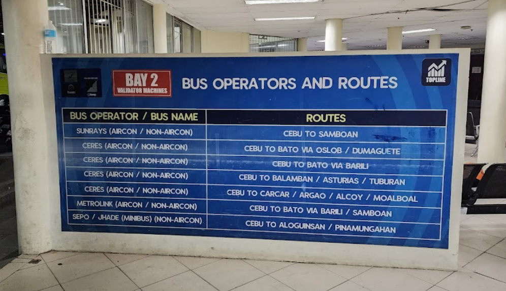
Travelers can reach Dumanjug by bus or van services from the Cebu South Bus Terminal in Cebu City. The trip generally takes around 2 to 3 hours, depending on traffic conditions, and provides a scenic journey along Cebu’s southwestern coast.

